When it comes to City-wide emergencies, knowledge is power.
The City of Santa Fe Office of Emergency Management has partnered with SimTable, LLC, a local provider of Geographic Information Systems (GIS), to create evacuation zones in the Wildland Urban Interface (WUI) in case of significant wildfires in the area.
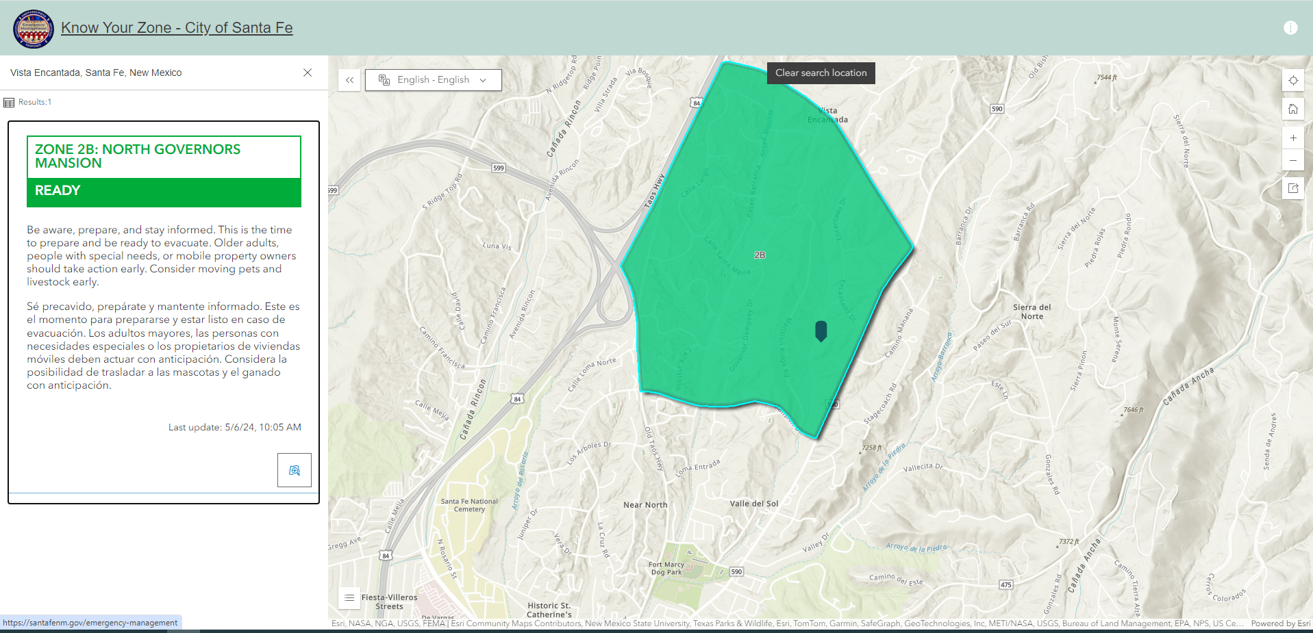
The purpose of the web app, found here, is to provide proactive preparedness for potential wildfires, and protect lives and property.
Working in collaboration with staff of the Office of Emergency Management, the Santa Fe Police Department and the Santa Fe Fire Department, SimTable used data from a variety of local, state and federal sources to develop evacuation zones.
The app divides the City’s WUI into zones based on factors such as population, traffic patterns, and risk, as well as topography.
The application allows users to input their home address to identify their zone and, if needed, real-time evacuation status updates.
If ever needed, the City’s text-alert system will link directly to the app for real-time information directly from public safety officials.
Join ALERT Santa Fe for text-alerts here.